Safe Routes to School for Children Attending Hughes Elementary School
Project Summary
-
- Geographic Scope
Syracuse City’s Outer Comstock, Brighton and University neighborhoods
-
- Project Commence Date
January 2007
-
- Results / Impact
A $175,000 grant to implement new street signs, crosswalks, educational programming and resources in 3 schools
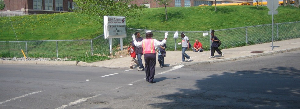
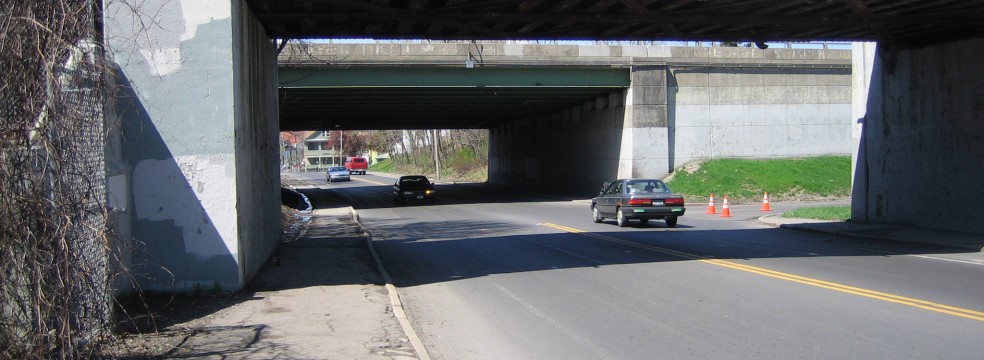
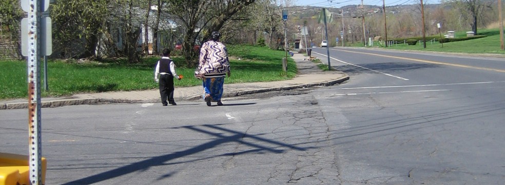
In 2007, the Outer Comstock Neighborhood Association (OCNA) asked Syracuse Community Geography to help neighbors evaluate neighborhood safety conditions for children who walk or bike to Hughes Elementary School. OCNA members observed that heavy traffic, inadequate signage, a lack of sidewalks and faded crosswalks created an unsafe environment for children who walk or bike to school. In an effort to improve neighborhood safety, SCG worked with neighbors to survey and map pedestrian and bicycle friendliness in the area around Hughes Elementary. Using GIS, GPS and visual observation, we were able to assess the safest walking and biking routes and created a “Safe Routes to Hughes School” map for children and parents. Our study’s report proposed recommendations for city engineers, the school administration, neighborhood residents and parents to improve neighborhood safety.
A year after the Hughes School Safe Routes to School (SRTS) analysis, the U.S. Department of Transportation proposed federal funding for SRTS projects. Working with the City of Syracuse and two additional schools – McKinley Brighton and Ed Smith – we submitted a grant proposal that would help fund some of the report’s recommendations. Syracuse was subsequently awarded $175,000 to install new flashing speed signs, crosswalks, handicapped accessible curbs, and to implement safety programming in three elementary schools.