Access to Financial Services in Syracuse, NY


Project Summary
-
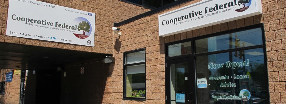
- Community Partner
-
- Geographic Scope
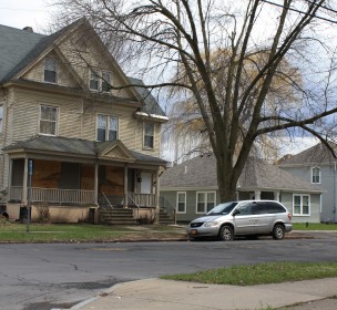
Syracuse, NY
-
- Project Commence Date
January 2015
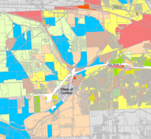
In collaboration with Syracuse Cooperative Federal Credit Union, students in the Spring 2015 Community Geography class conducted a GIS-based analysis to help the credit union better understand its impact on the Syracuse community. Addresses of recent credit union members (2010-2014) and loan recipients (2010-2013) were geocoded and aggregated to census tracts and neighborhoods to reveal geographic trends. Historical redlining, economic and demographic variables and the locations of other banks, credit unions and fringe financial services (e.g. pawn shops) were also mapped to contextualize access to financial services in the City of Syracuse. Cooperative Federal will use the maps to expand their outreach efforts.