Mapping Alcohol Outlet Density and Public Health Outcomes in Madison County, NY
Project Summary
-
- Community Partner
BRiDGES—Madison County Council on Alcoholism and Substance Abuse, Inc.
-
- Geographic Scope
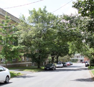
Madison County, NY
-
- Project Commence Date
January 2012
-
- Results / Impact
Report to be shared with local stakeholders
Equipped with these maps, the project participants could then begin to explore spatial patterns between outlet density and DWI crashes and arrests.
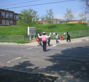
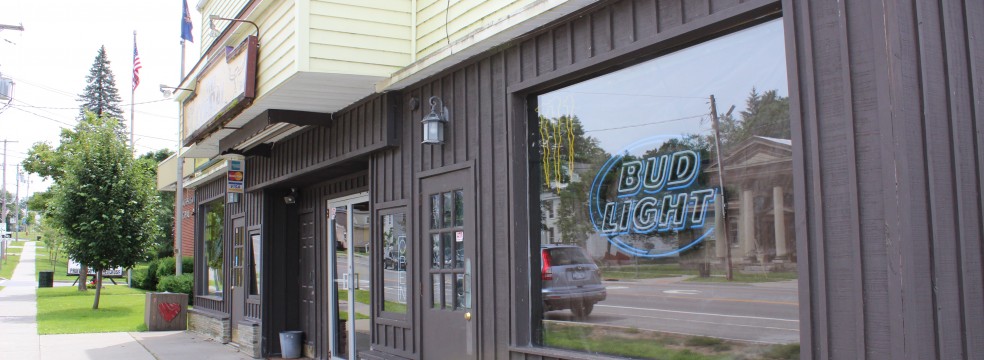
Recent research demonstrates a link between proximity to alcohol outlets and a variety of negative public health and safety outcomes which include underage drinking, motor vehicle crashes, injuries and domestic violence. Research also suggests that mapping can help to assess geographic correlations between outlets and adverse outcomes. In fall 2011, Syracuse Community Geography was approached by BRiDGES (Madison County Council on Alcoholism and Substance Abuse, Inc) with a request to carry out an analysis of the spatial relationship between alcohol outlet density and alcohol-related problems in Madison County. As part of their broader mission of providing services to families and individuals affected by addiction and substance abuse, BRiDGES was interested in using GIS to develop an on-going mapping project of county-wide DWI crashes, alcohol related arrests and alcohol outlets. Specifically, they wanted to map the density of onsite (e.g. bars) and offsite (e.g. convenient markets) alcohol outlets in Madison County and investigate whether greater outlet density might be correlated with increased incidents of DWI crashes and alcohol related arrests.
the collaborative study provided valuable insights for improving both data collection and management practices…
In order to help BRiDGES carry out this project, Syracuse Community Geography worked with key staff at the organization to design a spatial analysis using data on 1) the location of alcohol outlets and 2) the location of alcohol-related problems across the county. While we were able to obtain up-to-date and comprehensive data on outlets, access to complete and reliable data on adverse outcomes proved to be challenging. DWI crash and arrest data were obtained by BRiDGES from local law-enforcement agencies. Combining these data with census information, Kristin Sakaguchi, a student intern with Community Geography, mapped the locations of onsite and offsite alcohol outlets and the locations of DWI crashes and arrests. Next, she calculated the density of outlets, DWI crashes and arrests for the towns and census tracts in Madison County. The final maps show the densities of outlets, crashes, and arrests per 1,000 people for each of the towns and census tracts. Equipped with these maps, the project participants could then begin to explore spatial patterns between outlet density and DWI crashes and arrests.
The results of this analysis indicated that, despite recent research, there does not appear to be a clear spatial correlation between outlet density and alcohol-related crashes and arrests in Madison County. In interpreting these findings, however, we determined that the results may be skewed as a result of
- the rural nature of the study area (most research on outlet density and public health focuses on urban environments),
- our limited and narrow definition of alcohol related problems, and
- the alcohol arrest dataset was incomplete.
Although the absence of a clear relationship was an unexpected finding, the collaborative study provided valuable insights for improving both data collection and management practices at the local level and for conducting better research on alcohol environments more broadly. BRiDGES will use the final project report to initiate discussions with their community partners, including law enforcement, to develop more efficient data collection and data sharing procedures.