Housing Demolition, Vacancy and Tenure Patterns in Syracuse, NY
Project Summary
-
- Community Partner
-
- Geographic Scope
Syracuse, NY
-
- Project Commence Date
January 2013
-
- Related Information
Greater Syracuse Property Development Corporation- A New York Land Bank
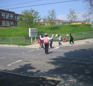
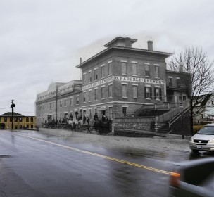
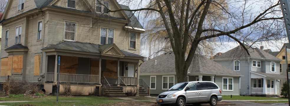
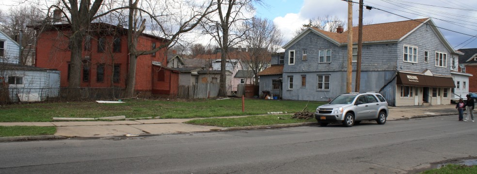
In partnership with the City of Syracuse Bureau of Planning and Sustainability, students in the Spring 2013 Community Geography class conducted an analysis of housing demolition in Syracuse from 2002-2012. The city had never before studied residential demolition trends. GIS was used to visualize and analyze patterns and correlations between vacancy rates, housing age, and housing tenure. The analysis showed that residential demolitions are highly clustered within a few Syracuse neighborhoods. The analysis also indicated that vacancy rates are increasing while demolitions are decreasing, however our limited historical analysis did not explain whether concentrated housing demolition was the cause or consequence of population decline and an increase in vacant property. This project used data from the City of Syracuse, the US Census Bureau, the US Dept. of Housing and Urban Development and the US Postal Service.
The next phase of the analysis will examine historic patterns of population decline and housing vacancy from 1940 to the present and the relationship between these variables to demolition patterns and the construction of Interstate Route 81.