CNY Land Trust Mapping
Project Summary
-
- Community Partner
-
- Geographic Scope
Onondaga and Oswego Counties
-
- Project Commence Date
September 2015
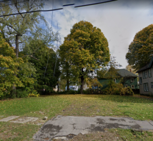
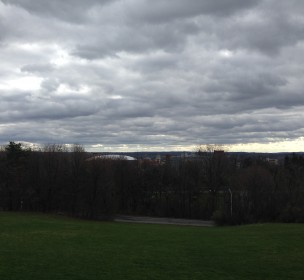
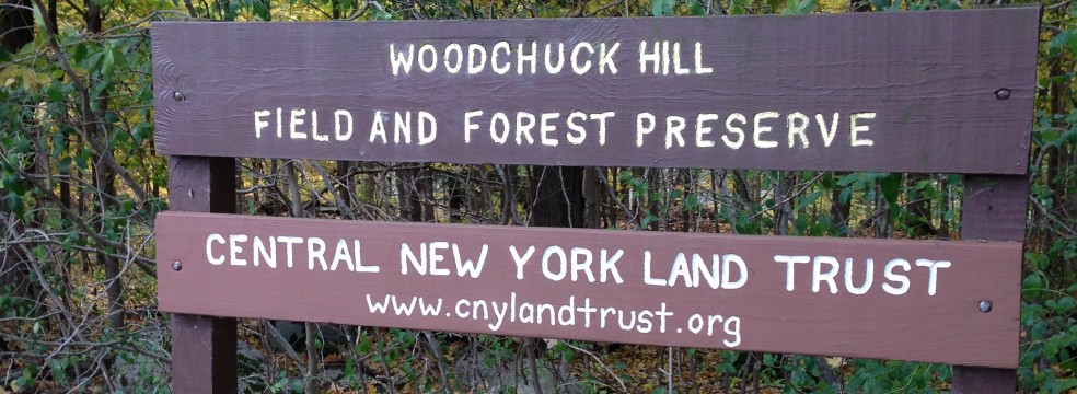
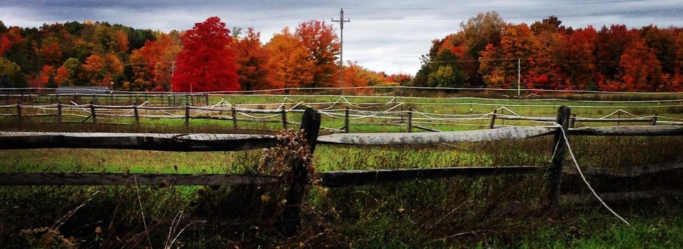
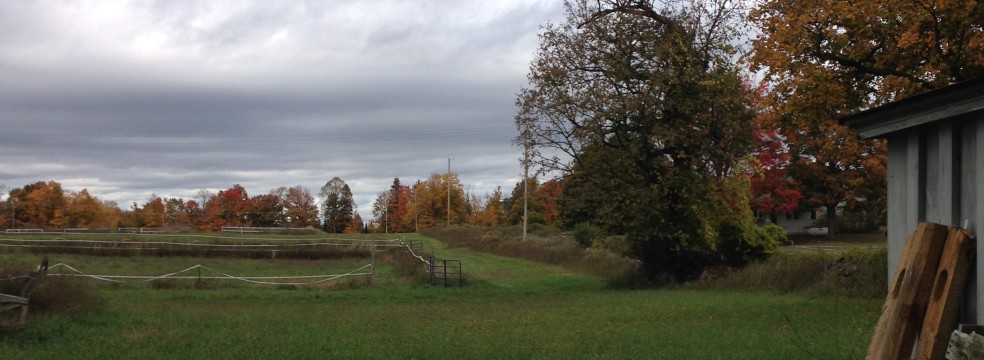
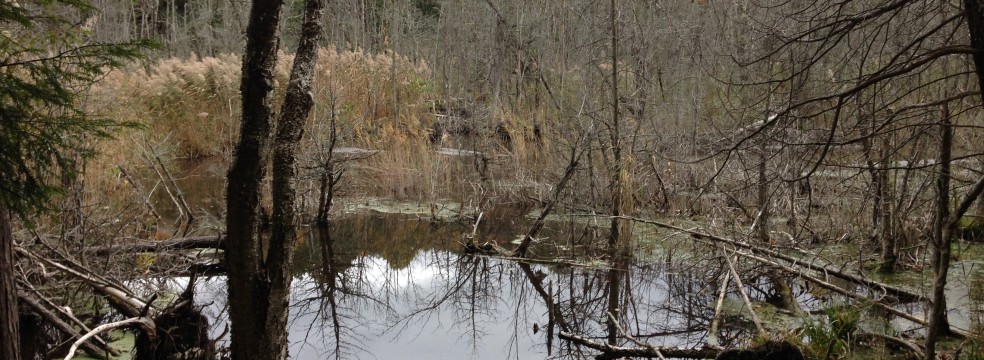
In Fall 2015, Syracuse Community Geography began a partnership with the Central New York Land Trust (CNYLT) to create a GIS map inventory of the land trust’s nature preserves. CNYLT is a member-driven, nonprofit organization that protects approximately 2,800 acres across 49 properties in Onondaga and Oswego Counties. CNYLT land preserves are open to the public and free to visit. SCG graduate student, Jane Mulcahy, mapped CNYLT membership to help its board of directors better understand its membership base and to design membership outreach activities. Jane also produced boundary maps for all 49 CNYLT properties. The boundary maps will be used by stewards to monitor and care for the preserves. Using the mobile mapping app Fulcrum, Jane also created user-friendly trail maps for four CNYLT properties. Trail maps will be available on site and on the CNYLT’s website for interested visitors.