A Geographic Analysis of Urban Forestry Efforts in Syracuse, NY
Project Summary
-
- Community Partner
Cornell University Cooperative Extension of Onondaga County, NY
-
- Geographic Scope
Syracuse, NY
-
- Project Commence Date
January 2013
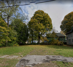
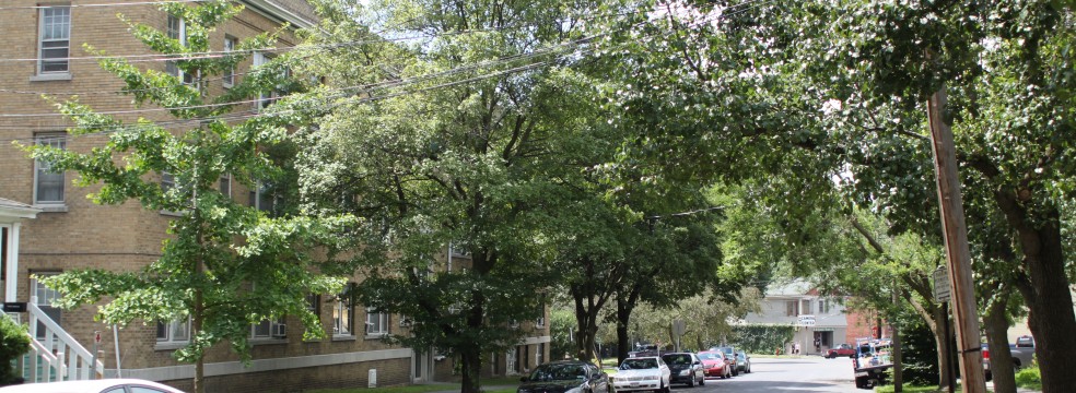
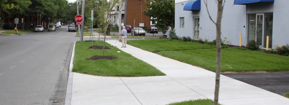
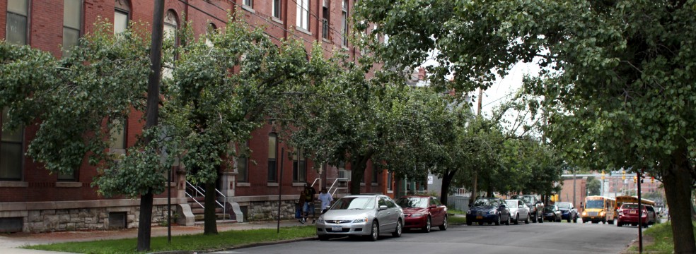
In partnership with the Cornell University Cooperative Extension of Onondaga County (CCE), students in the Spring 2013 Community Geography class conducted a geographic analysis of CCE’s urban forestry efforts in Syracuse, NY. The goals of the project were to provide CCE with a bird’s eye view of its urban tree planting campaign impact and to make recommendations for future tree plantings based on a variety of health, environmental and social variables. CCE will plant nearly 8,500 new urban trees in Syracuse by 2018. Maps overlaid canopy cover and 1,200+ tree planting sites with asthma, lung cancer, sources of air pollution, housing characteristics and crime. Using findings from previously conducted research, the maps demonstrate where urban trees might have the greatest impact on quality of life. The data for the project came from a variety of sources including the NYS Department of Health, Environmental Protection Agency, U.S. Census Bureau, and the Syracuse City Police Department. The analysis will be used to educate the community about the benefits of urban forestry, advocacy and program planning.